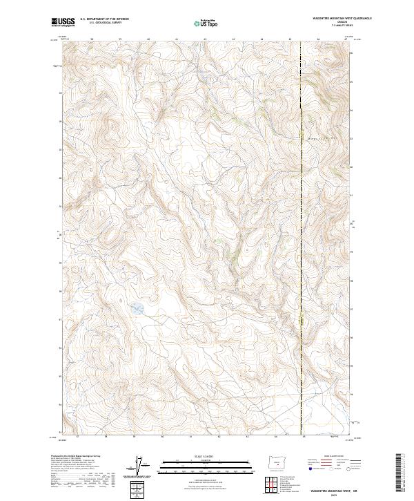
2023 Map of Wagontire Mountain West
USGS Topo · Published 2023About this map
Wagontire Mtn dominates the eastern boundary of this high-desert landscape, where the high-altitude terrain transitions across the Lake County and Harney County line. The hydrology of this arid region is defined by Lost Creek, which feeds into the Lost Cr Reservoir in the northern reaches of the quadrangle. This 2023 edition reflects the modern topographic character of the Oregon high desert, illustrating the remote drainage patterns and the relief of the mountain's western slopes. The map provides a clear view of the Public Land Survey System grid, spanning several townships including t25s r23e and t26s r24e, which remains essential for land management and identifying property boundaries in these open ranges.
Find a feature on this map
10 named features on this map. Tap any name to fly to it.
Don’t see what you’re looking for? This feature index may not catch every label — zoom into the map to look around manually.
Map Details
Editions of this 2023 Wagontire Mountain West Map
This is the sole edition of this map. No revisions or reprints were ever made.
Other maps of this area

1955 · Crescent
USGS Topo · 1:250,000

1955 · Burns
USGS Topo · 1:250,000

1957 · Crescent
USGS Topo · 1:250,000

1958 · Crescent
USGS Topo · 1:250,000

1958 · Burns
USGS Topo · 1:250,000

1959 · Burns
USGS Topo · 1:250,000

1970 · Crescent
USGS Topo · 1:250,000

1980 · Wagontire Mtn West
USGS Topo · 1:24,000

1980 · Round Top Butte
USGS Topo · 1:24,000

1980 · Hay Lake
USGS Topo · 1:24,000