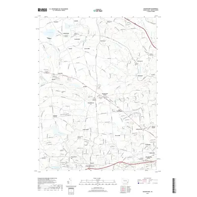
2019 Map of Wagontown
USGS Topo · Published 2019About this map
The northern reaches of Coatesville and the surrounding Chester County countryside are defined by a dense network of early Quaker and denominational history. The landscape is marked by numerous historic burial grounds, such as the Old Caln Friends Meeting Burial Ground and the Caln Friends Orthodox Burial Ground, which reflect the region's religious heritage near the Caln Meeting House. Small settlements like Wagontown, Guthriesville, and Brandywine Manor anchor the road system, which follows the natural paths carved by the West Branch Brandywine Creek and its many tributaries. Northward, the topography rises toward The Baron Hills, while water resources like Struble Lake and the Coatesville Reservoir stand as prominent features of the modern local geography.
Find a feature on this map
235 named features on this map. Tap any name to fly to it.
Don’t see what you’re looking for? This feature index may not catch every label — zoom into the map to look around manually.
Map Details
Editions of this 2019 Wagontown Map
This is the sole edition of this map. No revisions or reprints were ever made.
Other maps of this area

1901 · West Chester
USGS Topo · 1:62,500

1904 · West Chester
USGS Topo · 1:62,500

1904 · Coatesville
USGS Topo · 1:62,500

1905 · Honey Brook
USGS Topo · 1:62,500

1906 · Phoenixville
USGS Topo · 1:62,500

1906 · Coatesville
USGS Topo · 1:62,500

1907 · Honeybrook
USGS Topo · 1:62,500

1918 · Coatesville
USGS Topo · 1:62,500

1941 · Honeybrook
USGS Topo · 1:62,500

1943 · Coatesville
USGS Topo · 1:62,500
Featured Places
- Coatesville, PA
- Caln Township, PA
- Wallace Township, PA
- East Nantmeal Township, PA
- Icedale, West Brandywine Township