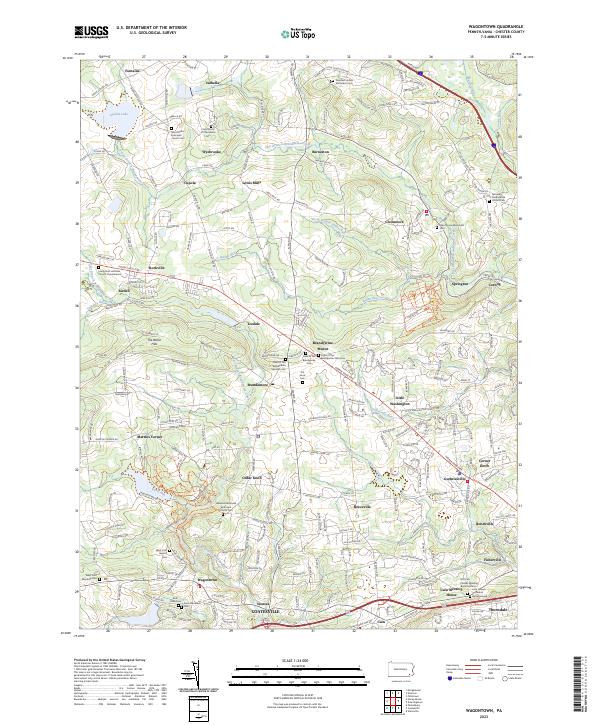
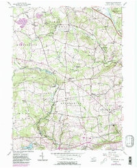
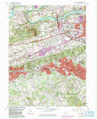
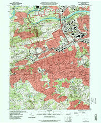
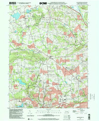
2023 Map of Wagontown
USGS Topo · Published 2023About this map
The West Branch and East Branch of the Brandywine Creek carve through this section of Chester County, defining a landscape of rolling hills and dense historic settlements. The area is exceptionally rich in religious and genealogical history, preserving sites like the Old Caln Friends Meeting Burial Ground and the Caln Meeting House in the south, while the northern reaches include the Saint Mary of Providence Cem near Isabella.
Find a feature on this map
247 named features on this map. Tap any name to fly to it.
Don’t see what you’re looking for? This feature index may not catch every label — zoom into the map to look around manually.
Map Details
Editions of this 2023 Wagontown Map
This is the sole edition of this map. No revisions or reprints were ever made.
Historical Maps of Icedale Through Time
12 maps found

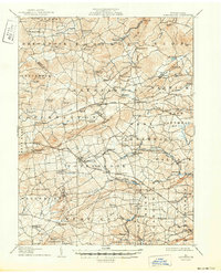
1905 Honey Brook
Chester County, PA
1907 Honeybrook
Chester County, PA

1941 Honeybrook
Chester County, PA
1952 Valley Forge
Chester County, PA
1955 Honey Brook
Chester County, PA
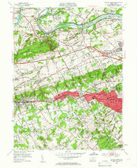
1956 Wagontown
Chester County, PA
1966 Valley Forge
Chester County, PA
1992 Valley Forge
Chester County, PA
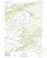
1999 Wagontown
Chester County, PA
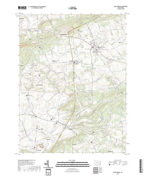
2023 Honey Brook
Chester County, PA
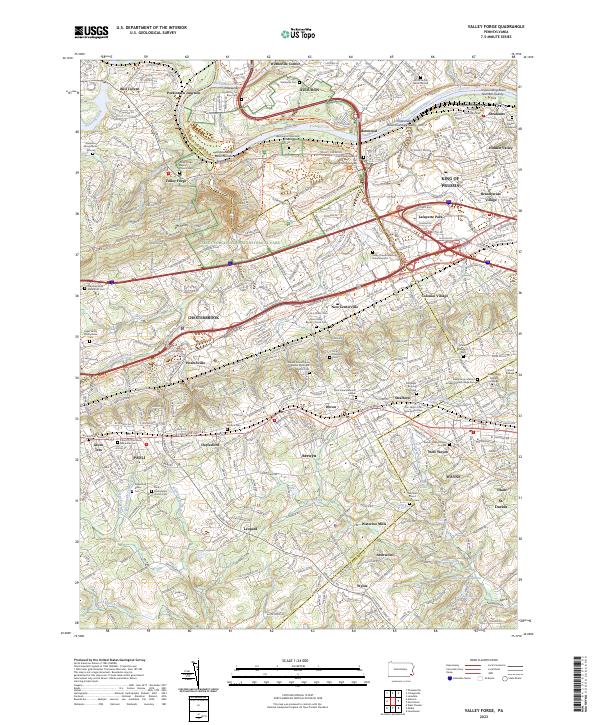
2023 Valley Forge
Chester County, PA
2023 Wagontown
Chester County, PA
Featured Locations
- Coatesville, PA
- Wallace Township, PA
- East Nantmeal Township, PA
- Caln Township, PA
- Icedale, West Brandywine Township