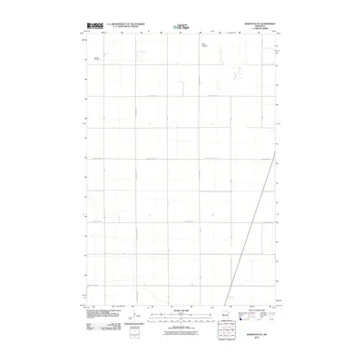
2010 Map of Wahpeton NE
USGS Topo · Published 2010About this map
Mitchell Cemetery and Christ Lutheran Cemetery anchor this section of Wilkin County, providing essential landmarks for genealogists and local historians tracking early families in this agricultural landscape. The area is defined by a rigid survey grid of township and county roads, including County Hwy-11, County Hwy-26, and County Hwy-155. This network illustrates the systematic organization of Minnesota's prairie farmland during the early 21st century. The map depicts a territory largely dedicated to industrial-scale farming, where the sparse placement of named features highlights the significance of the few established burial grounds and the primary transport corridors like County Hwy-172 and County Hwy-20 that connect these rural communities.
Find a feature on this map
23 named features on this map. Tap any name to fly to it.
Don’t see what you’re looking for? This feature index may not catch every label — zoom into the map to look around manually.
Map Details
Editions of this 2010 Wahpeton NE Map
This is the sole edition of this map. No revisions or reprints were ever made.
Other maps of this area

1895 · Fargo
USGS Topo · 1:125,000

1897 · Fargo
USGS Topo · 1:125,000

1904 · Wahpeton
USGS Topo · 1:125,000

1919 · Rothsay
USGS Topo · 1:62,500

1919 · Barnesville
USGS Topo · 1:62,500

1951 · Rothsay
USGS Topo · 1:62,500

1952 · Barnesville
USGS Topo · 1:62,500

1953 · Fargo
USGS Topo · 1:250,000

1956 · Fargo
USGS Topo · 1:250,000

1964 · Dwight
USGS Topo · 1:24,000