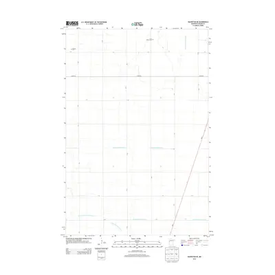
2013 Map of Wahpeton NE
USGS Topo · Published 2013About this map
Christ Lutheran Cem and Mitchell Cem stand as quiet markers of the community's heritage in this rural section of Wilkin County, Minnesota. The landscape is defined by an extensive engineered drainage system, including State Ditch Number Fifteen and several branches of County Ditch Number Six-a, which have transformed this portion of the Red River Valley into highly productive agricultural land. A precise grid of township roads, such as T-180 and T-33, sections the territory, facilitating the transport of local crops. In the southeast, MN-9 cuts diagonally across the township lines, providing a primary regional artery. This 2013 survey illustrates the enduring intersection of family genealogy at local cemeteries with the large-scale water management essential to modern prairie farming.
Find a feature on this map
22 named features on this map. Tap any name to fly to it.
Don’t see what you’re looking for? This feature index may not catch every label — zoom into the map to look around manually.
Map Details
Editions of this 2013 Wahpeton NE Map
This is the sole edition of this map. No revisions or reprints were ever made.
Other maps of this area

1895 · Fargo
USGS Topo · 1:125,000

1897 · Fargo
USGS Topo · 1:125,000

1904 · Wahpeton
USGS Topo · 1:125,000

1919 · Rothsay
USGS Topo · 1:62,500

1919 · Barnesville
USGS Topo · 1:62,500

1951 · Rothsay
USGS Topo · 1:62,500

1952 · Barnesville
USGS Topo · 1:62,500

1953 · Fargo
USGS Topo · 1:250,000

1956 · Fargo
USGS Topo · 1:250,000

1964 · Dwight
USGS Topo · 1:24,000