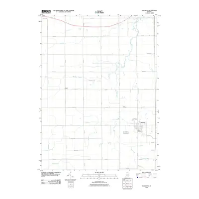
2010 Map of Wakarusa
USGS Topo · Published 2010About this map
Wakarusa serves as the primary center of this Elkhart County landscape, where the grid of rural roads and agricultural drainage channels defines the local geography. The town is situated at the head of a complex water management system, characterized by numerous named waterways such as Billman Ditch, Werntz Ditch, and Holderman Ditch, all of which eventually feed toward Baugo Creek. This network of ditches illustrates the historical effort to transform northern Indiana's wetlands into productive farmland.
Find a feature on this map
50 named features on this map. Tap any name to fly to it.
Don’t see what you’re looking for? This feature index may not catch every label — zoom into the map to look around manually.
Map Details
Editions of this 2010 Wakarusa Map
This is the sole edition of this map. No revisions or reprints were ever made.
Other maps of this area

1953 · Fort Wayne
USGS Topo · 1:250,000

1953 · Chicago
USGS Topo · 1:250,000

1956 · Fort Wayne
USGS Topo · 1:250,000

1957 · Chicago
USGS Topo · 1:250,000

1958 · South Bend East
USGS Topo · 1:24,000

1958 · Bremen
USGS Topo · 1:24,000

1958 · Nappanee West
USGS Topo · 1:24,000

1958 · Osceola
USGS Topo · 1:24,000

1958 · Nappanee East
USGS Topo · 1:24,000

1960 · Foraker
USGS Topo · 1:24,000