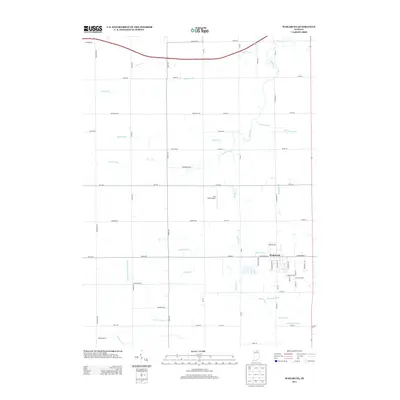
2013 Map of Wakarusa
USGS Topo · Published 2013About this map
Wakarusa serves as the primary hub of this 2013 survey, where a structured grid of streets like W Waterford St and S Washington St meets the rural agricultural landscape of Elkhart County. The terrain is defined by an extensive and intricate network of drainage systems, reflecting the region's intensive land management for farming. Waterways such as Baugo Cr, Werntz Ditch, and Holderman Ditch snake through the countryside, often bearing the names of local families who shaped this territory. To the west, Phelps Farms and the Eby Field Airport anchor specific points of local industry and transit. Genealogists may find interest in the numerous named ditches, including the Lemon Birk Newcomer Ditch and Christophel Ditch, which provide clues to historical property boundaries and the legacy of the settlers who engineered this fertile northern Indiana drainage basin.
Find a feature on this map
64 named features on this map. Tap any name to fly to it.
Don’t see what you’re looking for? This feature index may not catch every label — zoom into the map to look around manually.
Map Details
Editions of this 2013 Wakarusa Map
This is the sole edition of this map. No revisions or reprints were ever made.
Other maps of this area

1953 · Fort Wayne
USGS Topo · 1:250,000

1953 · Chicago
USGS Topo · 1:250,000

1956 · Fort Wayne
USGS Topo · 1:250,000

1957 · Chicago
USGS Topo · 1:250,000

1958 · South Bend East
USGS Topo · 1:24,000

1958 · Bremen
USGS Topo · 1:24,000

1958 · Nappanee West
USGS Topo · 1:24,000

1958 · Osceola
USGS Topo · 1:24,000

1958 · Nappanee East
USGS Topo · 1:24,000

1960 · Foraker
USGS Topo · 1:24,000