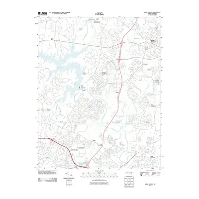
2010 Map of Wake Forest
USGS Topo · Published 2010About this map
Wake Forest and its surrounding northern Wake County landscapes appear here in a period of significant suburban integration and water management. The Falls of the Neuse Dam anchors the central terrain, regulating the Neuse River as it flows south toward Neuse Crossroads and Wake Crossroads. This 2010 survey illustrates the transition from rural crossroads like Walkers Crossroads and Stony Hill to organized residential developments. The area's recreational and social character is defined by a high density of private camps and water bodies, including Camp Kanata, Camp Durant, and New Life Camp. Numerous family-named dams and ponds, such as Jones Pond and Greshams Lake, underscore a long history of local water rights and small-scale land improvements that have persisted even as modern thoroughfares like the NC 98 BYP reshape the northern periphery of the state capital region.
Find a feature on this map
72 named features on this map. Tap any name to fly to it.
Don’t see what you’re looking for? This feature index may not catch every label — zoom into the map to look around manually.
Map Details
Editions of this 2010 Wake Forest Map
This is the sole edition of this map. No revisions or reprints were ever made.
Other maps of this area

1943 · Raleigh
USGS Topo · 1:62,500

1943 · Creedmoor
USGS Topo · 1:62,500

1944 · Creedmoor
USGS Topo · 1:62,500

1951 · Raleigh
USGS Topo · 1:62,500

1953 · Raleigh
USGS Topo · 1:250,000

1953 · Greensboro
USGS Topo · 1:250,000

1954 · Greensboro
USGS Topo · 1:250,000

1954 · Raleigh
USGS Topo · 1:250,000

1962 · Greensboro
USGS Topo · 1:250,000

1966 · Greensboro
USGS Topo · 1:250,000