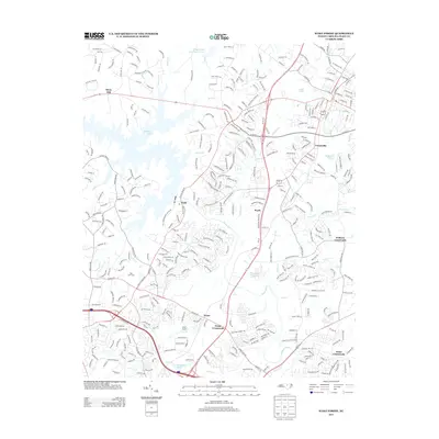
2013 Map of Wake Forest
USGS Topo · Published 2013About this map
Neuse River winds through this northern Wake County landscape, anchoring a series of small communities and crossroads as they appeared in 2013. The map details the transition from rural land to suburban development, centered around Forestville and the historic settlement at Falls. Numerous creeks and branches, including Richland Creek and Smith Creek, feed into the Neuse, creating a complex drainage network that has historically dictated the placement of roads and homesteads.
Find a feature on this map
349 named features on this map. Tap any name to fly to it.
Don’t see what you’re looking for? This feature index may not catch every label — zoom into the map to look around manually.
Map Details
Editions of this 2013 Wake Forest Map
This is the sole edition of this map. No revisions or reprints were ever made.
Other maps of this area

1943 · Raleigh
USGS Topo · 1:62,500

1943 · Creedmoor
USGS Topo · 1:62,500

1944 · Creedmoor
USGS Topo · 1:62,500

1951 · Raleigh
USGS Topo · 1:62,500

1953 · Raleigh
USGS Topo · 1:250,000

1953 · Greensboro
USGS Topo · 1:250,000

1954 · Greensboro
USGS Topo · 1:250,000

1954 · Raleigh
USGS Topo · 1:250,000

1962 · Greensboro
USGS Topo · 1:250,000

1966 · Greensboro
USGS Topo · 1:250,000