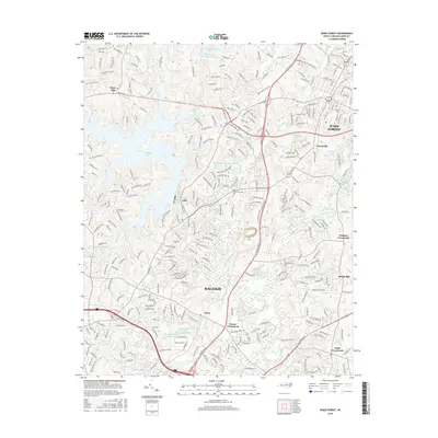
2016 Map of Wake Forest
USGS Topo · Published 2016About this map
The Wake Forest and Rolesville corridor north of Raleigh centers this modern survey, capturing the suburban development and recreational infrastructure of Wake County. The landscape is defined by the expansive Falls Lake and the Neuse River, which serve as the dominant natural landmarks around which modern residential grids like those in Forestville and Stony Hill have expanded. Several historic intersections persist as named community centers, including Neuse Crossroads, Walkers Crossroads, and Wake Crossroads, reflecting the area's transition from rural farmland to a more densely populated suburban hub.
Find a feature on this map
293 named features on this map. Tap any name to fly to it.
Don’t see what you’re looking for? This feature index may not catch every label — zoom into the map to look around manually.
Map Details
Editions of this 2016 Wake Forest Map
This is the sole edition of this map. No revisions or reprints were ever made.
Other maps of this area

1943 · Raleigh
USGS Topo · 1:62,500

1943 · Creedmoor
USGS Topo · 1:62,500

1944 · Creedmoor
USGS Topo · 1:62,500

1951 · Raleigh
USGS Topo · 1:62,500

1953 · Raleigh
USGS Topo · 1:250,000

1953 · Greensboro
USGS Topo · 1:250,000

1954 · Greensboro
USGS Topo · 1:250,000

1954 · Raleigh
USGS Topo · 1:250,000

1962 · Greensboro
USGS Topo · 1:250,000

1966 · Greensboro
USGS Topo · 1:250,000