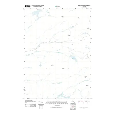
2010 Map of Wakely Mountain
USGS Topo · Published 2010About this map
Kamp Kill-Kare and Lake Kora mark the northwestern corner of this Adirondack landscape, where human settlement meets a dense network of ridges and watercourses. Central to the area, the Northville Lake Placid Trl follows a route roughly parallel to the Moose River Rd and the upper reaches of the South Branch Moose River. This corridor provides the primary passage through the high ground defined by Bradley Mountain, Cellar Mountain, and the prominent Wakely Mountain.
Find a feature on this map
34 named features on this map. Tap any name to fly to it.
Don’t see what you’re looking for? This feature index may not catch every label — zoom into the map to look around manually.
Map Details
Editions of this 2010 Wakely Mountain Map
This is the sole edition of this map. No revisions or reprints were ever made.
Other maps of this area

1899 · Indian Lake
USGS Topo · 1:62,500

1900 · Canada Lake
USGS Topo · 1:62,500

1902 · Indian Lake
USGS Topo · 1:62,500

1903 · West Canada Lakes
USGS Topo · 1:62,500

1903 · Raquette Lake
USGS Topo · 1:62,500

1903 · Blue Mountain
USGS Topo · 1:62,500

1950 · Utica
USGS Topo · 1:250,000

1954 · Blue Mountain
USGS Topo · 1:62,500

1954 · Indian Lake
USGS Topo · 1:62,500

1954 · West Canada Lakes
USGS Topo · 1:62,500