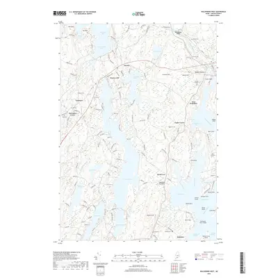
2018 Map of Waldoboro West
USGS Topo · Published 2018About this map
The coastal and lakeside settlements of Lincoln County define this landscape, where the Medomak River and Pemaquid River systems converge toward the Atlantic. Established hamlets such as Nobleboro, Winslows Mills, and West Waldoboro are mapped alongside numerous local landmarks that reflect the area's deep-rooted community history. For genealogists, the map is particularly valuable for its documentation of burial sites, including the German Protestant Cem, Dutch Neck Cem, and Creamer Cem, many of which are tucked away near family lands or old parish boundaries.
Find a feature on this map
141 named features on this map. Tap any name to fly to it.
Don’t see what you’re looking for? This feature index may not catch every label — zoom into the map to look around manually.
Map Details
Editions of this 2018 Waldoboro West Map
This is the sole edition of this map. No revisions or reprints were ever made.
Other maps of this area

1893 · Wiscasset
USGS Topo · 1:62,500

1893 · Boothbay
USGS Topo · 1:62,500

1904 · Monhegan
USGS Topo · 1:62,500

1906 · Monhegan
USGS Topo · 1:62,500

1913 · Waldoboro
USGS Topo · 1:48,000

1915 · Waldoboro
USGS Topo · 1:62,500

1941 · Waldoboro
USGS Topo · 1:62,500

1941 · Boothbay
USGS Topo · 1:62,500

1943 · Boothbay
USGS Topo · 1:62,500

1944 · Wiscasset
USGS Topo · 1:62,500