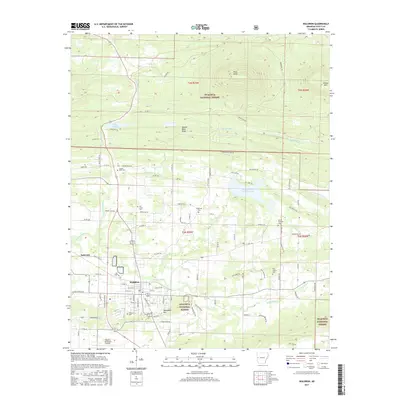
2017 Map of Waldron
USGS Topo · Published 2017About this map
Waldron sits at a critical junction in Scott County where the headwaters of the Poteau River and Square Rock Cr emerge from the high terrain of the Ouachita National Forest. This 2017 survey shows a landscape defined by the transition from the steep elevations of Pilot Knob and Square Rock Ridge into the more level valleys that support the town's expanding footprint and the Waldron Municipal Airport. The area’s genealogical record is well-preserved through numerous rural burial grounds, including the Old Salem Cem, Birdsview Cem, and Pilot Prairie Cem. North of the main settlement, water management is visible through Lake Waldron and Poteau River Site Five Lake, while the outlying areas like Anderson and Bohnstein Hill reflect the traditional upland settlement patterns of the Arkansas Ouachitas.
Find a feature on this map
106 named features on this map. Tap any name to fly to it.
Don’t see what you’re looking for? This feature index may not catch every label — zoom into the map to look around manually.
Map Details
Editions of this 2017 Waldron Map
This is the sole edition of this map. No revisions or reprints were ever made.
Other maps of this area

1879 · Poteau Mountain
USGS Topo · 1:62,500

1887 · Poteau Mountain #1
USGS Topo · 1:62,500

1887 · Mount Ida #2
USGS Topo · 1:62,500

1887 · Magazine Mountain #3
USGS Topo · 1:62,500

1887 · Magazine Mountain
USGS Topo · 1:62,500

1890 · Magazine Mountain
USGS Topo · 1:125,000

1890 · Mount Ida
USGS Topo · 1:125,000

1890 · Fort Smith
USGS Topo · 1:125,000

1890 · Poteau Mountain
USGS Topo · 1:125,000

1899 · Poteau Mountain
USGS Topo · 1:125,000