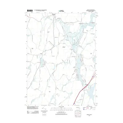
2012 Map of Wales
USGS Topo · Published 2012About this map
Brimfield and Wales anchor this landscape along the Massachusetts and Connecticut border, where a network of reservoirs and ponds defines the local geography. The massive Hamilton Reservoir and Mashapaug Pond dominate the southern portion, reflecting the area's transition into a recreational and residential corridor. To the north, the Quinebaug River feeds into Holland Pond and East Brimfield Lake, surrounded by significant conservation and community spaces like the Norcross Wildlife Sanctuary and the Streeter Point Recreation Area.
Find a feature on this map
170 named features on this map. Tap any name to fly to it.
Don’t see what you’re looking for? This feature index may not catch every label — zoom into the map to look around manually.
Map Details
Editions of this 2012 Wales Map
This is the sole edition of this map. No revisions or reprints were ever made.
Other maps of this area

1887 · Brookfield
USGS Topo · 1:62,500

1887 · Palmer
USGS Topo · 1:62,500

1889 · Palmer
USGS Topo · 1:62,500

1890 · Brookfield
USGS Topo · 1:62,500

1892 · Woodstock
USGS Topo · 1:62,500

1892 · Tolland
USGS Topo · 1:62,500

1893 · Palmer
USGS Topo · 1:62,500

1893 · Brookfield
USGS Topo · 1:62,500

1908 · Ware
USGS Topo · 1:125,000

1915 · Brookfield
USGS Topo · 1:62,500