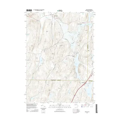
2015 Map of Wales
USGS Topo · Published 2015About this map
Hamilton Reservoir and the Quinebaug River valley define the shared borderlands of Massachusetts and Connecticut on this 2015 survey. The map details a corridor of historic crossroads settlements, including Wales, Holland, and Brimfield, linked by a network of winding roads like Holland Rd and Sturbridge Rd. These communities are situated among prominent heights such as Rattlesnake Mtn and Burley Hill, with the local geography heavily influenced by glacial water bodies like E Brimfield Lake and Holland Pond.
Find a feature on this map
114 named features on this map. Tap any name to fly to it.
Don’t see what you’re looking for? This feature index may not catch every label — zoom into the map to look around manually.
Map Details
Editions of this 2015 Wales Map
This is the sole edition of this map. No revisions or reprints were ever made.
Other maps of this area

1887 · Brookfield
USGS Topo · 1:62,500

1887 · Palmer
USGS Topo · 1:62,500

1889 · Palmer
USGS Topo · 1:62,500

1890 · Brookfield
USGS Topo · 1:62,500

1892 · Woodstock
USGS Topo · 1:62,500

1892 · Tolland
USGS Topo · 1:62,500

1893 · Palmer
USGS Topo · 1:62,500

1893 · Brookfield
USGS Topo · 1:62,500

1908 · Ware
USGS Topo · 1:125,000

1915 · Brookfield
USGS Topo · 1:62,500