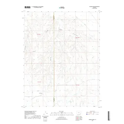
2019 Map of Walker Canyon
USGS Topo · Published 2019About this map
Hackberry Springs and Alum Spring serve as rare water sources in this drainage-carved landscape on the border of Las Animas and Baca Counties. The terrain is defined by a series of deep cuts, including Walker Canyon, Shell-Rock Canyon, and Burton Canyon, which all feed toward the southeastern flow of Two Butte Creek. Distinctive landmarks like The Windsplitter and The Chimneys suggest a topography of sharp ridges and vertical rock formations. Named features such as Fan Top Tree and the McAfee Godwin Vega reflect the localized heritage of this ranching country, where movement is dictated by the network of county roads like Co RD PP and Co RD 72.
Find a feature on this map
27 named features on this map. Tap any name to fly to it.
Don’t see what you’re looking for? This feature index may not catch every label — zoom into the map to look around manually.
Map Details
Editions of this 2019 Walker Canyon Map
This is the sole edition of this map. No revisions or reprints were ever made.
Other maps of this area

1891 · Higbee
USGS Topo · 1:125,000

1891 · Springfield
USGS Topo · 1:125,000

1892 · Two Butte
USGS Topo · 1:125,000

1892 · Mt Carrizo
USGS Topo · 1:125,000

1893 · Higbee
USGS Topo · 1:125,000

1893 · Two Butte
USGS Topo · 1:125,000

1893 · Springfield
USGS Topo · 1:125,000

1955 · La Junta
USGS Topo · 1:250,000

1958 · La Junta
USGS Topo · 1:250,000

1968 · La Junta
USGS Topo · 1:250,000