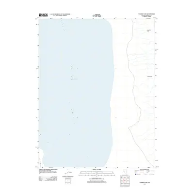
2011 Map of Walker Lake
USGS Topo · Published 2011About this map
Walker Lake dominates this Mineral County landscape, filling the western portion of the quadrangle with its characteristic high-desert shoreline. This 2011 survey records the bathymetry and topography of the lake basin during a period of significant ecological transition for this terminal desert lake. To the east, the terrain rises into the Gillis Range, a stretch of land defined by numerous desert washes and high ridgelines. The northern reaches are punctuated by the Agai Pah Hills, providing a clear look at the arid geographic features of the Great Basin. This edition serves as a precise digital-era baseline for researchers studying the shifting water levels and the physical geography of this significant Nevada terminal lake.
Find a feature on this map
3 named features on this map. Tap any name to fly to it.
Don’t see what you’re looking for? This feature index may not catch every label — zoom into the map to look around manually.
Map Details
Editions of this 2011 Walker Lake Map
This is the sole edition of this map. No revisions or reprints were ever made.
Other maps of this area

1909 · Hawthorne
USGS Topo · 1:250,000

1911 · Hawthorne
USGS Topo · 1:250,000

1915 · Hawthorne
USGS Topo · 1:250,000

1948 · Walker Lake
USGS Topo · 1:250,000

1955 · Hawthorne
USGS Topo · 1:62,500

1956 · Mt. Grant
USGS Topo · 1:62,500

1957 · Walker Lake
USGS Topo · 1:250,000

1962 · Walker Lake
USGS Topo · 1:250,000

1964 · Walker Lake
USGS Topo · 1:250,000

1964 · Gillis Canyon
USGS Topo · 1:62,500