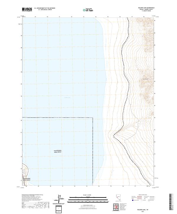
2021 Map of Walker Lake
USGS Topo · Published 2021About this map
Walker Lake dominates the central and western reaches of this landscape, its expansive shoreline captured during a 2021 survey of Mineral County. The terrain shifts dramatically to the east, where the arid slopes of the Gillis Range rise sharply from the water's edge. This high-desert topography is defined by steep contour intervals and the systematic lines of the Public Land Survey System, including t10n r30e and t9n r30e. Along the lake’s eastern shore, the presence of Highway 95 provides the primary transit link through this sparsely populated region, tracing the narrow corridor between the mountains and the fluctuating waterline. The map offers a clear view of the intersection between Nevada's high-altitude desert basins and the significant hydrographic features that have shaped local transit and land use for decades.
Find a feature on this map
6 named features on this map. Tap any name to fly to it.
Don’t see what you’re looking for? This feature index may not catch every label — zoom into the map to look around manually.
Map Details
Editions of this 2021 Walker Lake Map
This is the sole edition of this map. No revisions or reprints were ever made.
Other maps of this area

1909 · Hawthorne
USGS Topo · 1:250,000

1911 · Hawthorne
USGS Topo · 1:250,000

1915 · Hawthorne
USGS Topo · 1:250,000

1948 · Walker Lake
USGS Topo · 1:250,000

1955 · Hawthorne
USGS Topo · 1:62,500

1956 · Mt. Grant
USGS Topo · 1:62,500

1957 · Walker Lake
USGS Topo · 1:250,000

1962 · Walker Lake
USGS Topo · 1:250,000

1964 · Walker Lake
USGS Topo · 1:250,000

1964 · Gillis Canyon
USGS Topo · 1:62,500