Loading...
Loading map...2022 Map of Walkertown
USGS Topo · Published 2022About this map
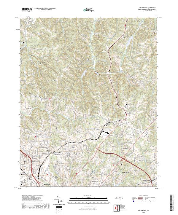
Winston-Salem and the outlying community of Walkertown serve as the primary anchors for this 2022 survey of Forsyth County. The landscape is a mix of expanding suburban neighborhoods like Forest Hills, Montview, and Brookwood alongside significant industrial and infrastructure features. The Smith Reynolds Airport occupies a prominent portion of the southwest, while the northern terrain rises toward Baux Mtn and Reubens Ridge.
Find a feature on this map
254 named features on this map. Tap any name to fly to it.
Don’t see what you’re looking for? This feature index may not catch every label — zoom into the map to look around manually.
Map Details
Date Portrayed2022
Date Published2022
PublisherU.S. Geological Survey
Map TypeTopographic
Scale1:24000
Physical Dimensions24 x 29 inches
Editions of this 2022 Walkertown Map
This is the sole edition of this map. No revisions or reprints were ever made.
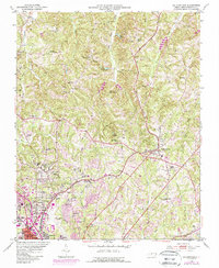
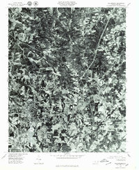
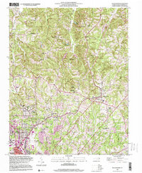
Historical Maps of Dennis Through Time
4 maps found
Featured Locations
Source Details
SourceU.S. Geological Survey
CopyrightPublic Domain