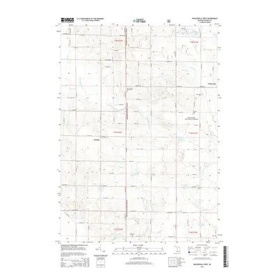
2014 Map of Walkerville West
USGS Topo · Published 2014About this map
Elbridge and the western outskirts of Walkerville define this portion of Oceana County, where the sprawling Manistee National Forest occupies the central and northern reaches. The landscape is characterized by a dense network of water bodies and cemeteries, reflecting a long-established rural community within the glacial terrain. The S Br Pentwater River winds through the forest, joined by tributaries such as Routley Cr and Osborn Cr. Smaller lakes like Cobmoosa Lake, Pebawma Lake, and Evans Lake are scattered throughout, often surrounded by local roads like Harrison Rd and Filmore Rd. Genealogists will find a concentration of burial sites across the township, including Elbridge Township Cem, Saint Joseph's Catholic Cem, and the Goodrich Cem to the southeast. These landmarks, alongside the Carpenter Cem and Walkerville Cem, provide a clear spatial record of the area's early family settlements and religious centers.
Find a feature on this map
62 named features on this map. Tap any name to fly to it.
Don’t see what you’re looking for? This feature index may not catch every label — zoom into the map to look around manually.
Map Details
Editions of this 2014 Walkerville West Map
This is the sole edition of this map. No revisions or reprints were ever made.
Other maps of this area

1931 · Custer SW
USGS Topo · 1:31,680

1931 · Hart SE
USGS Topo · 1:31,680

1931 · Walkerville NE
USGS Topo · 1:31,680

1931 · Hart NE
USGS Topo · 1:31,680

1931 · Walkerville SW
USGS Topo · 1:31,680

1931 · Walkerville NW
USGS Topo · 1:31,680

1931 · Custer SE
USGS Topo · 1:31,680

1931 · Walkerville SE
USGS Topo · 1:31,680

1932 · Ludington SE
USGS Topo · 1:31,680

1954 · Milwaukee
USGS Topo · 1:250,000