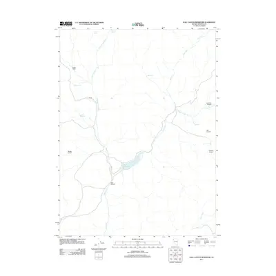
2011 Map of Wall Canyon Reservoir
USGS Topo · Published 2011About this map
Wall Canyon Reservoir serves as a central hydrological feature in this high-desert landscape of northwestern Nevada. The area is defined by a network of drainage systems and isolated water sources, including Mountain View Creek and Wall Creek, which feed into the reservoir from the surrounding canyons. To the north, Indian Valley provides a level expanse between the rugged terrain of Pegleg Canyon and Bordwell Canyon. Historical water management is evident through numerous named springs, such as Warm Springs, Kissler Springs, and Irene Spring, alongside agricultural infrastructure like the Cockrell Trough. This 2011 survey by the U.S. Geological Survey illustrates the importance of these persistent water points in an arid environment where terrain features like The Dip and Well Canyon dictate the flow of seasonal runoff and modern access routes.
Find a feature on this map
19 named features on this map. Tap any name to fly to it.
Don’t see what you’re looking for? This feature index may not catch every label — zoom into the map to look around manually.
Map Details
Editions of this 2011 Wall Canyon Reservoir Map
This is the sole edition of this map. No revisions or reprints were ever made.
Other maps of this area

1889 · Long Valley
USGS Topo · 1:250,000

1954 · Vya
USGS Topo · 1:250,000

1958 · Vya
USGS Topo · 1:250,000

1962 · Vya
USGS Topo · 1:250,000
1979 · Hays Canyon
USGS Topo · 1:24,000
1979 · Wall Canyon Reservoir
USGS Topo · 1:24,000
1979 · Duck Lake
USGS Topo · 1:24,000
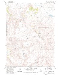
1979 · Boulder Mtn.
USGS Topo · 1:24,000
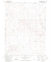
1979 · Pinto Springs
USGS Topo · 1:24,000
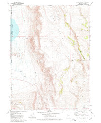
1980 · Pegleg Canyon
USGS Topo · 1:24,000