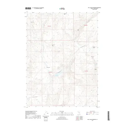
2018 Map of Wall Canyon Reservoir
USGS Topo · Published 2018About this map
Wall Canyon Reservoir serves as the central focal point of this arid Great Basin landscape, where water management is the primary driver of human infrastructure. Accessible via Wall Canyon Reservoir Rd, the area is defined by its many isolated water sources, including Warm Springs, Kissler Springs, and Irene Spring. These points of reliable water have historically dictated land use between the Hays Canyon Range and the Home Camp Range. The drainage patterns are clearly marked by Mountain View Cr and Bordwell Cr, which cut through the complex topography of Pegleg Canyon and Bordwell Canyon. For those tracing local land history, the map provides precise locations for named features like Cockrell Trough and Big Spring, revealing the enduring importance of these sites in the remote Nevada high desert.
Find a feature on this map
25 named features on this map. Tap any name to fly to it.
Don’t see what you’re looking for? This feature index may not catch every label — zoom into the map to look around manually.
Map Details
Editions of this 2018 Wall Canyon Reservoir Map
This is the sole edition of this map. No revisions or reprints were ever made.
Other maps of this area

1889 · Long Valley
USGS Topo · 1:250,000

1954 · Vya
USGS Topo · 1:250,000

1958 · Vya
USGS Topo · 1:250,000

1962 · Vya
USGS Topo · 1:250,000
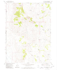
1979 · Hays Canyon
USGS Topo · 1:24,000
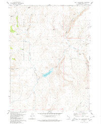
1979 · Wall Canyon Reservoir
USGS Topo · 1:24,000
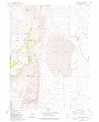
1979 · Duck Lake
USGS Topo · 1:24,000
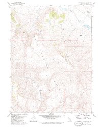
1979 · Boulder Mtn.
USGS Topo · 1:24,000
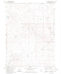
1979 · Pinto Springs
USGS Topo · 1:24,000
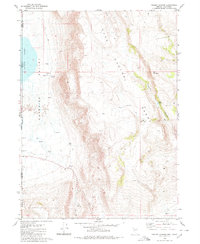
1980 · Pegleg Canyon
USGS Topo · 1:24,000