
1891 Map of Wallpack
USGS Topo · Published 1891About this map
The Delaware River carves a dramatic path through the center of this landscape, flanked by the prominent ridge of Kittatinny Mountain. In the late nineteenth century, river crossings were vital to the local economy, evidenced by several active transit points including Dingmans Ferry, Smiths Ferry, and Deckers Ferry. To the east, the Big Flat Brook and Little Flat Brook parallel the main river valley, supporting early settlements like Peters Valley and Wallpack Center.
Find a feature on this map
81 named features on this map. Tap any name to fly to it.
Don’t see what you’re looking for? This feature index may not catch every label — zoom into the map to look around manually.
Map Details
Editions of this 1891 Wallpack Map
This is the sole edition of this map. No revisions or reprints were ever made.
Other maps of this area

1888 · Franklin
USGS Topo · 1:62,500

1888 · Hackettstown
USGS Topo · 1:62,500

1888 · Lake Hopatcong
USGS Topo · 1:62,500

1891 · Delaware Water Gap
USGS Topo · 1:62,500

1893 · Delaware Water Gap
USGS Topo · 1:62,500
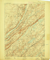
1893 · Wallpack
USGS Topo · 1:62,500

1894 · Hackettstown
USGS Topo · 1:62,500

1894 · Lake Hopatcong
USGS Topo · 1:62,500
1894 · Franklin
USGS Topo · 1:62,500
1897 · Franklin
USGS Topo · 1:62,500