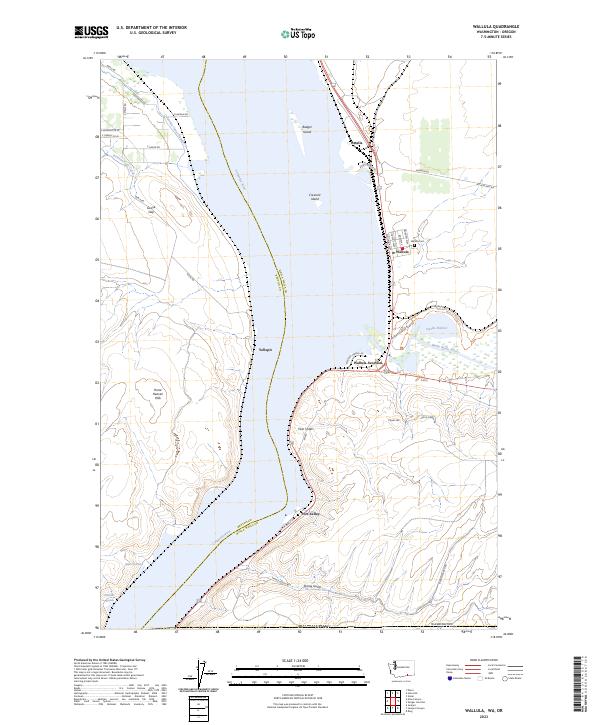
2023 Map of Wallula
USGS Topo · Published 2023About this map
The Columbia River corridor dominates this landscape at the border of Benton and Walla Walla counties, where the water has shaped both the natural environment and human settlement. The vast McNary National Wildlife Refuge spans both banks, protecting numerous islands like Badger Island and Crescent Island. The confluence with the Walla Walla River serves as a focal point for local transport and history, anchored by Wallula and the nearby Wallula Junction.
Find a feature on this map
51 named features on this map. Tap any name to fly to it.
Don’t see what you’re looking for? This feature index may not catch every label — zoom into the map to look around manually.
Map Details
Editions of this 2023 Wallula Map
This is the sole edition of this map. No revisions or reprints were ever made.
Other maps of this area

1908 · Umatilla
USGS Topo · 1:125,000

1915 · Wallulah
USGS Topo · 1:96,000

1917 · Pasco
USGS Topo · 1:125,000

1918 · Wallula
USGS Topo · 1:125,000

1935 · Pendleton
USGS Topo · 1:125,000

1953 · Pendleton
USGS Topo · 1:250,000

1953 · Walla Walla
USGS Topo · 1:250,000

1956 · Pendleton
USGS Topo · 1:250,000

1958 · Walla Walla
USGS Topo · 1:250,000

1962 · Juniper
USGS Topo · 1:24,000