2023 Map of Walnut Bottom
USGS Topo · Published 2023About this map
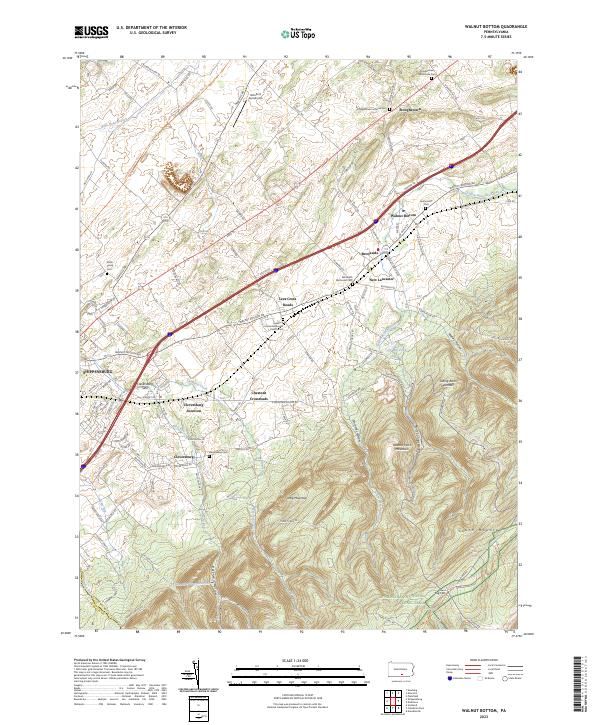
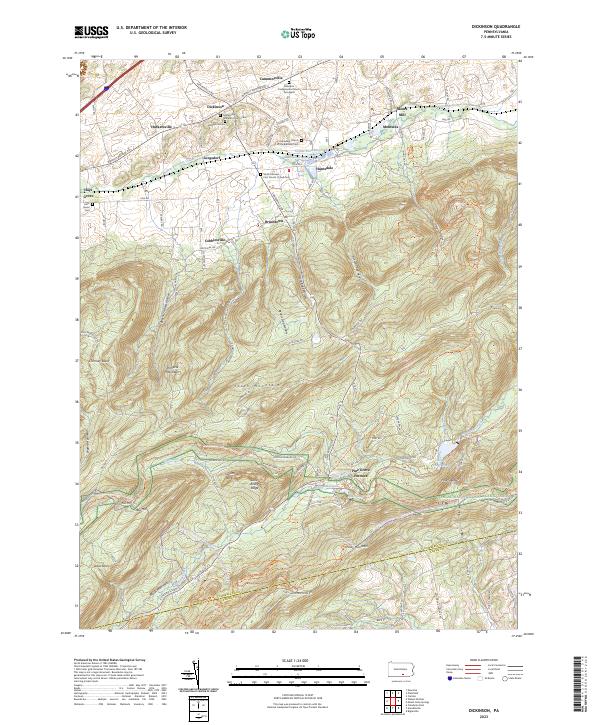
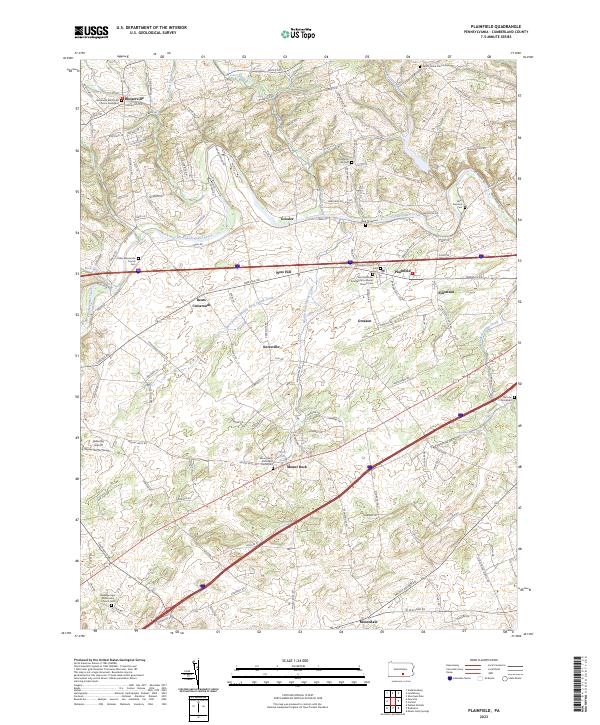
Stoughstown and Walnut Bottom anchor a landscape defined by the transition from the rolling agricultural valley to the steep timbered slopes of South Mountain. The north is characterized by a dense network of country roads like Kettle Rd and Oakville Rd, connecting small settlements and family-named cemeteries such as the Smith Family Cem. The historic transportation corridor is clearly marked by the Cumberland Valley Rail-Trail, which follows the path of former industry through Cleversburg Junction toward Shippensburg.
Find a feature on this map
128 named features on this map. Tap any name to fly to it.
Don’t see what you’re looking for? This feature index may not catch every label — zoom into the map to look around manually.
Map Details
Editions of this 2023 Walnut Bottom Map
This is the sole edition of this map. No revisions or reprints were ever made.
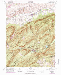
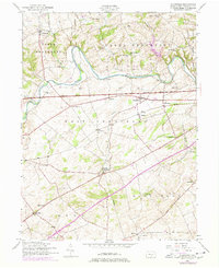
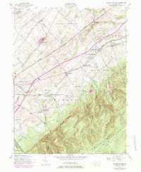
Historical Maps of Penn Township Through Time
8 maps found
Featured Locations
- Shippensburg, PA
- Shippensburg Township, PA
- Southampton Township, PA
- North Newton Township, PA
- West Pennsboro Township, PA