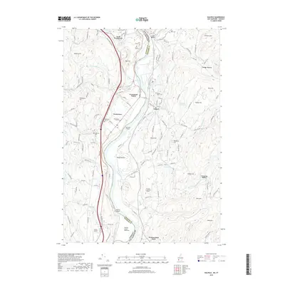
2018 Map of Walpole
USGS Topo · Published 2018About this map
The Connecticut River serves as the central spine of this landscape, marking the historic boundary between Vermont and New Hampshire. This 2018 survey documents the enduring settlement patterns of Walpole and Westminster, where the river valley supports a mixture of agricultural land like the Putney Great Meadows and the industrial infrastructure of the Central Vermont RR. The presence of Westminster Station and Westmoreland Depot indicates the importance of the rail line to the region’s economic history.
Find a feature on this map
131 named features on this map. Tap any name to fly to it.
Don’t see what you’re looking for? This feature index may not catch every label — zoom into the map to look around manually.
Map Details
Editions of this 2018 Walpole Map
This is the sole edition of this map. No revisions or reprints were ever made.
Other maps of this area

1891 · Brattleboro
USGS Topo · 1:62,500

1893 · Brattleboro
USGS Topo · 1:62,500

1898 · Keene
USGS Topo · 1:62,500

1927 · Bellows Falls
USGS Topo · 1:48,000

1930 · Saxtons River
USGS Topo · 1:48,000

1930 · Bellows Falls
USGS Topo · 1:62,500

1932 · Brattleboro
USGS Topo · 1:48,000

1932 · Keene
USGS Topo · 1:62,500

1933 · Saxtons River
USGS Topo · 1:62,500
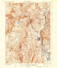
1935 · Brattleboro
USGS Topo · 1:62,500