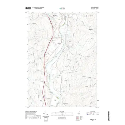
2021 Map of Walpole
USGS Topo · Published 2021About this map
The Connecticut River serves as the primary boundary between Vermont and New Hampshire in this region, dividing Westminster and Walpole while creating fertile lowlands like Boggy Meadows. The area's settlement history is clearly visible through numerous burial grounds, including the Westminster Old Cem and the hillside Saint Peters Cem to the north. Transportation corridors follow the river valley, with the Green Mountain RR and major roads such as BellowS Falls Rd and I-91 tracing the western bank near Westminster Station.
Find a feature on this map
125 named features on this map. Tap any name to fly to it.
Don’t see what you’re looking for? This feature index may not catch every label — zoom into the map to look around manually.
Map Details
Editions of this 2021 Walpole Map
This is the sole edition of this map. No revisions or reprints were ever made.
Other maps of this area
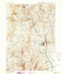
1891 · Brattleboro
USGS Topo · 1:62,500
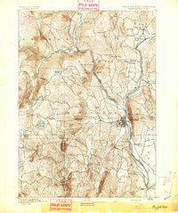
1893 · Brattleboro
USGS Topo · 1:62,500
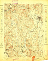
1898 · Keene
USGS Topo · 1:62,500
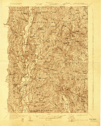
1927 · Bellows Falls
USGS Topo · 1:48,000
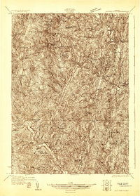
1930 · Saxtons River
USGS Topo · 1:48,000
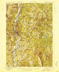
1930 · Bellows Falls
USGS Topo · 1:62,500
1932 · Brattleboro
USGS Topo · 1:48,000
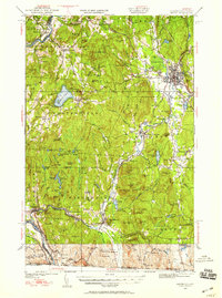
1932 · Keene
USGS Topo · 1:62,500
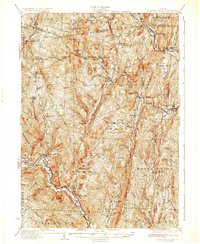
1933 · Saxtons River
USGS Topo · 1:62,500
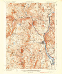
1935 · Brattleboro
USGS Topo · 1:62,500