Loading...
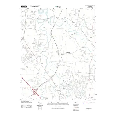
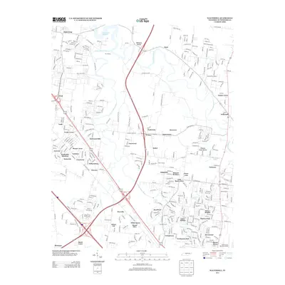
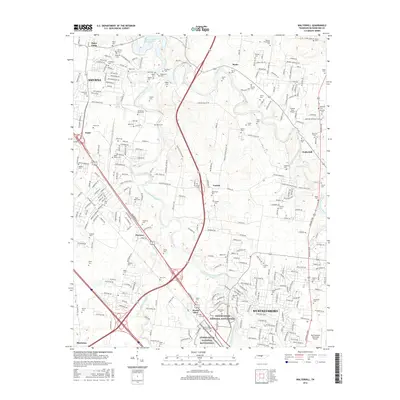
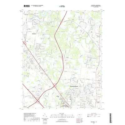
Loading map...1998 Map of Walterhill
USGS Topo · Published 1999About this map
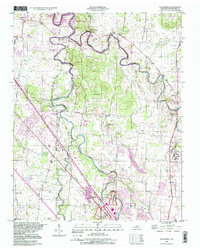
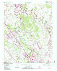
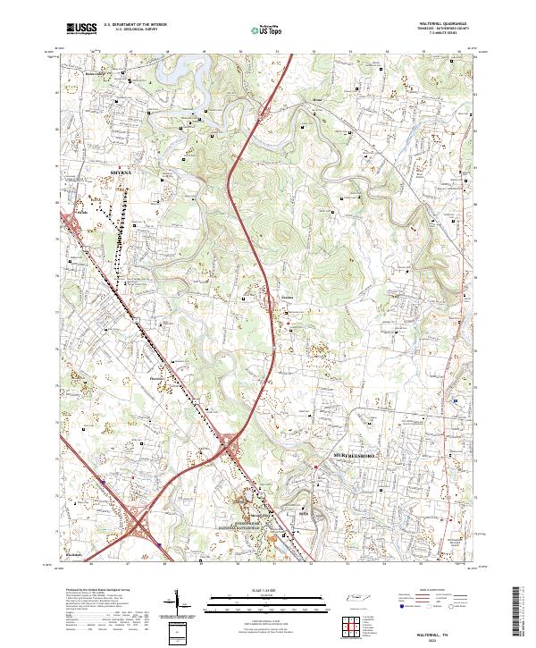
Stones River and its winding branches define this Rutherford County landscape, which includes the Stones River National Battlefield near the edge of Murfreesboro. The map captures a transition between residential expansion and established rural communities such as Old Jefferson and Walterhill. The river's path is heavily utilized for public recreation, evidenced by the Mona Recreation Area and West Fork Rec Area along the banks of J Percy Priest Lake.
Find a feature on this map
49 named features on this map. Tap any name to fly to it.
Don’t see what you’re looking for? This feature index may not catch every label — zoom into the map to look around manually.
Map Details
Date Portrayed1998
Date Published1999
PublisherU.S. Geological Survey
Map TypeTopographic
Scale1:24,000
Physical Dimensions21.9 x 27.3 inches
Editions of this 1998 Walterhill Map
This is the sole edition of this map. No revisions or reprints were ever made.
Historical Maps of Murfreesboro Through Time
7 maps found
Featured Locations
Source Details
SourceU.S. Geological Survey
CopyrightPublic Domain