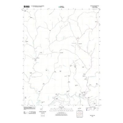
2011 Map of Walton
USGS Topo · Published 2011About this map
The Pocatalico River carves a winding path through this portion of Roane County, anchoring the community of Walton and its nearby Walton Post Office. The landscape is defined by a dense network of hollows and ridges, such as Huckleberry Knob and Walton Ridge, where small settlements like Gandeeville and Harmony developed along the creek forks. This mapping detail is particularly valuable for genealogists, as it preserves the exact locations of several family-named burial grounds, including the Canterbury Cemetery, Droddy Cemetery, and Whited Cemetery.
Find a feature on this map
88 named features on this map. Tap any name to fly to it.
Don’t see what you’re looking for? This feature index may not catch every label — zoom into the map to look around manually.
Map Details
Editions of this 2011 Walton Map
This is the sole edition of this map. No revisions or reprints were ever made.
Other maps of this area

1906 · Kenna
USGS Topo · 1:62,500

1906 · Walton
USGS Topo · 1:62,500

1907 · Kenna
USGS Topo · 1:62,500

1907 · Spencer
USGS Topo · 1:62,500

1907 · Walton
USGS Topo · 1:62,500

1907 · Ripley
USGS Topo · 1:62,500

1926 · Ripley
USGS Topo · 1:62,500

1928 · Spencer
USGS Topo · 1:62,500

1928 · Ripley
USGS Topo · 1:62,500

1954 · Charleston
USGS Topo · 1:250,000