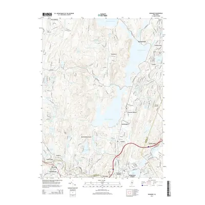
2014 Map of Wanaque
USGS Topo · Published 2014About this map
Wanaque Reservoir dominates this Passaic County landscape, its expansive waters collected behind a series of dams that reshaped the local topography. The surrounding terrain is a complex network of smaller water bodies and residential enclaves, from the established centers of Wanaque and Butler to more secluded lakefront communities like Erskine Lakes and Melody Lake. In the northern section, the Monksville Reservoir further illustrates the region's role in water management, while the Ramapo Mountains rise to the east, creating a sharp contrast between the developed valley corridors and the steep, wooded heights.
Find a feature on this map
83 named features on this map. Tap any name to fly to it.
Don’t see what you’re looking for? This feature index may not catch every label — zoom into the map to look around manually.
Map Details
Editions of this 2014 Wanaque Map
This is the sole edition of this map. No revisions or reprints were ever made.
Other maps of this area

1888 · Morristown
USGS Topo · 1:62,500

1888 · Paterson
USGS Topo · 1:62,500

1891 · Greenwood Lake
USGS Topo · 1:62,500

1891 · Ramapo
USGS Topo · 1:62,500

1892 · Paterson
USGS Topo · 1:62,500

1893 · Greenwood Lake
USGS Topo · 1:62,500

1893 · Ramapo
USGS Topo · 1:62,500

1894 · Morristown
USGS Topo · 1:62,500

1898 · Morristown
USGS Topo · 1:62,500

1898 · Paterson
USGS Topo · 1:62,500