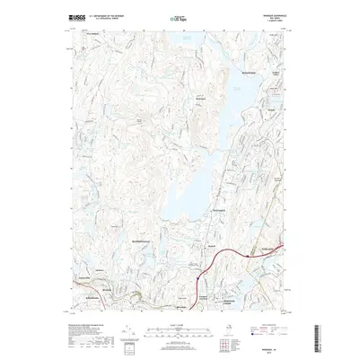
2019 Map of Wanaque
USGS Topo · Published 2019About this map
Wanaque Reservoir dominates the central landscape, a massive water feature that reshaped the geography of Passaic County. The surrounding terrain of the Ramapo Mountains is dotted with numerous smaller bodies of water, including Lake Sonoma, Stephens Ponds, and the expansive Monksville Reservoir to the north. These reservoirs and lakes sit alongside residential developments such as Erskine Lakes and Stonetown, illustrating the region's role as both a primary water source and a suburban retreat.
Find a feature on this map
208 named features on this map. Tap any name to fly to it.
Don’t see what you’re looking for? This feature index may not catch every label — zoom into the map to look around manually.
Map Details
Editions of this 2019 Wanaque Map
This is the sole edition of this map. No revisions or reprints were ever made.
Other maps of this area

1888 · Morristown
USGS Topo · 1:62,500

1888 · Paterson
USGS Topo · 1:62,500

1891 · Greenwood Lake
USGS Topo · 1:62,500

1891 · Ramapo
USGS Topo · 1:62,500

1892 · Paterson
USGS Topo · 1:62,500

1893 · Greenwood Lake
USGS Topo · 1:62,500

1893 · Ramapo
USGS Topo · 1:62,500

1894 · Morristown
USGS Topo · 1:62,500

1898 · Morristown
USGS Topo · 1:62,500

1898 · Paterson
USGS Topo · 1:62,500