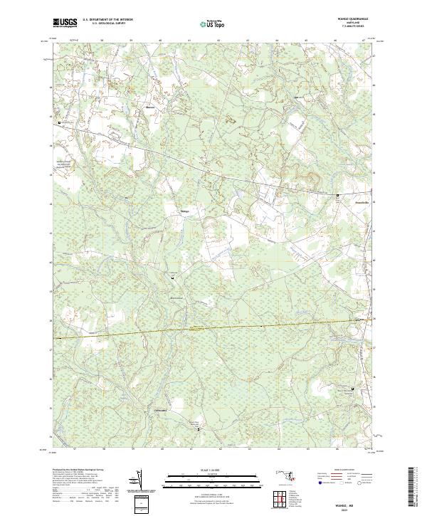
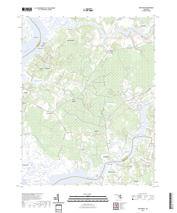
2023 Map of Wango
USGS Topo · Published 2023About this map
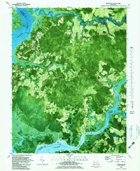
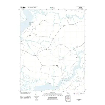
Nassawango Creek and its many tributaries, including Forest Grove Branch and Beaverdam Creek, define the water-rich landscape along the Wicomico and Worcester county line. This 2023 survey illustrates a rural region characterized by small settlements such as Wango and Shavox, interconnected by a network of local roads like Sixty Foot Rd and Mount Hermon Rd. The area is notably interspersed with wetlands and low-lying terrain, including Givens Swamp, Bear Swamp, and Franklin Swamp. Genealogists and local historians can locate several rural burial sites throughout the quadrangle, including the Hammond Cem near the Salisbury-Ocean City Wicomico Regional Airport and the Mount Zion United Methodist Cem in the southeastern portion of the map near Powell Branch.
Find a feature on this map
83 named features on this map. Tap any name to fly to it.
Don’t see what you’re looking for? This feature index may not catch every label — zoom into the map to look around manually.
Map Details
Editions of this 2023 Wango Map
This is the sole edition of this map. No revisions or reprints were ever made.
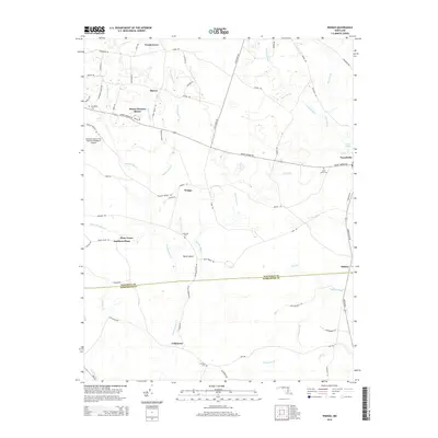
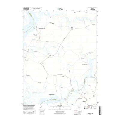
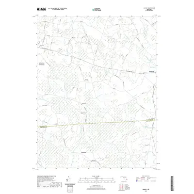
Historical Maps of Shavox Through Time
16 maps found
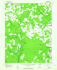
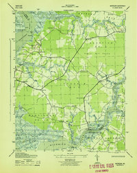
1942 Wango
Wicomico County, MD
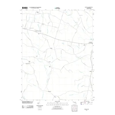
1942 Wetipquin
Wicomico County, MD
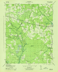
1943 Wango
Wicomico County, MD
1943 Wetipquin
Wicomico County, MD
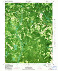
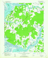
1982 Wango
Wicomico County, MD
1983 Wetipquin
Wicomico County, MD
2011 Wango
Wicomico County, MD
2011 Wetipquin
Wicomico County, MD
2014 Wango
Wicomico County, MD
2014 Wetipquin
Wicomico County, MD
2016 Wango
Wicomico County, MD
2016 Wetipquin
Wicomico County, MD
2019 Wango
Wicomico County, MD
2019 Wetipquin
Wicomico County, MD
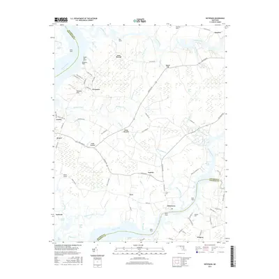
2023 Wango
Wicomico County, MD
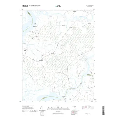
2023 Wetipquin
Wicomico County, MD