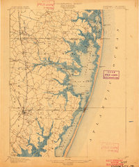
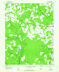
1942 Map of Whaleysville
USGS Topo · Published 1962About this map
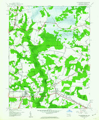
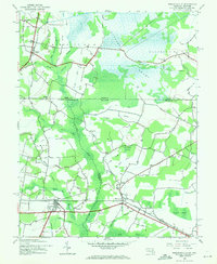
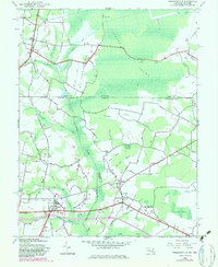
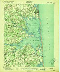
Cypress Swamp dominates the northern landscape of this 1942 survey, where the borders of Sussex, Wicomico, and Worcester counties meet. The settlement of Whaleysville sits at a critical junction of the Whaleysville Branch and the Baltimore and Eastern railroad line, serving as a hub for the surrounding agricultural and timbered lands. Further west, Willards appears as a significant rail-side village near the Newhope community, which is marked by the Newhope Cem. The geography is defined by a complex network of drainage ditches and branches, such as Davis Ditch and Bellfield Ditch, which manage the low-lying terrain surrounding the Pocomoke River. These waterworks reflect the era's intensive efforts to reclaim swampy interiors for productive use. Smaller landmarks like Pulletts Chapel and Pilgrim Ch provide essential touchstones for local family historians tracing the social fabric of these rural Maryland and Delaware borderlands during the early war years.
Find a feature on this map
45 named features on this map. Tap any name to fly to it.
Don’t see what you’re looking for? This feature index may not catch every label — zoom into the map to look around manually.
Map Details
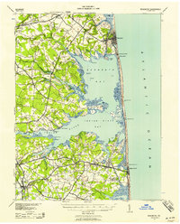
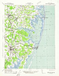
Editions of this 1942 Whaleysville Map
3 editions found
Other maps of this area
1901 · Ocean City
USGS Topo · 1:62,500

1902 · Pittsville
USGS Topo · 1:62,500

1917 · Millsboro
USGS Topo · 1:62,500
1918 · Rehoboth
USGS Topo · 1:62,500

1938 · Millsboro
USGS Topo · 1:62,500
1938 · Rehoboth
USGS Topo · 1:62,500
1942 · Ocean City
USGS Topo · 1:62,500
1942 · Ninepin
USGS Topo · 1:24,000
1942 · Wango
USGS Topo · 1:24,000
1942 · Pittsville
USGS Topo · 1:24,000