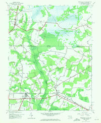
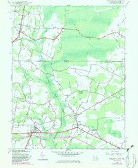
1942 Map of Whaleysville
USGS Topo · Published 1971About this map
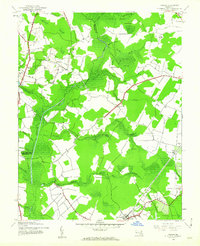
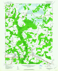
The Pocomoke River cuts a wide path through this borderland between Maryland and Delaware, anchoring a landscape defined by extensive lowlands and agricultural settlements. During the early 1940s, the Baltimore and Eastern railroad served as the primary transit corridor, linking the towns of Willards and Whaleysville. This survey illustrates the intricate drainage network required to manage the surrounding terrain, featuring systems like Old Ditch and Davis Ditch that weave through Cypress Swamp and Beech Swamp. Local life is anchored at crossroad communities and spiritual centers such as Pilgrim Ch near Gumboro and Pulletta Chapel further south. Genealogists may find value in the detailed placement of the Newhope Cem near the settlement of Newhope, while the presence of locations like Bellfield and Gordys highlights the era’s rural footprint before mid-century modernization.
Find a feature on this map
47 named features on this map. Tap any name to fly to it.
Don’t see what you’re looking for? This feature index may not catch every label — zoom into the map to look around manually.
Map Details
Editions of this 1942 Whaleysville Map
3 editions found
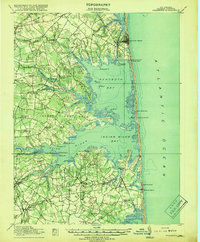
Other maps of this area
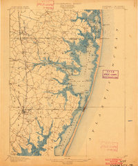
1901 · Ocean City
USGS Topo · 1:62,500

1902 · Pittsville
USGS Topo · 1:62,500

1917 · Millsboro
USGS Topo · 1:62,500
1918 · Rehoboth
USGS Topo · 1:62,500

1938 · Millsboro
USGS Topo · 1:62,500
1938 · Rehoboth
USGS Topo · 1:62,500
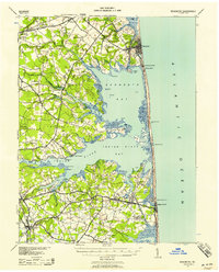
1942 · Ocean City
USGS Topo · 1:62,500
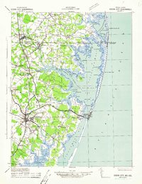
1942 · Ninepin
USGS Topo · 1:24,000
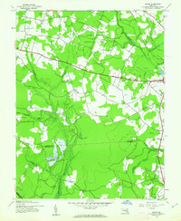
1942 · Wango
USGS Topo · 1:24,000
1942 · Whaleysville
USGS Topo · 1:24,000