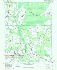
1942 Map of Whaleysville
USGS Topo · Published 1983About this map
Whaleysville and Willards anchor the southern reaches of this Delmarva Peninsula survey, where the borders of Maryland and Delaware intersect amidst a dense network of wetlands. The landscape is defined by the Pocomoke River and the expansive Cypress Swamp, which dominates the northern portion across the state line near Gumboro. Drainage of this low-lying terrain is evident through numerous man-made channels like Davis Ditch and the Old Line Ditch, illustrating the historical effort to manage the water-logged geography of Sussex County, Wicomico County, and Worcester County. Small rural centers such as Careytown and Westwoods are connected by a mix of established roads and an Old Railroad Grade. This document preserves the location of local landmarks including Pulletts Chapel, Pilgrim Ch, and the Newhope Cem, offering a detailed view of the region's mid-century settlement pattern.
Find a feature on this map
49 named features on this map. Tap any name to fly to it.
Don’t see what you’re looking for? This feature index may not catch every label — zoom into the map to look around manually.
Map Details
Editions of this 1942 Whaleysville Map
3 editions found
Other maps of this area

1901 · Ocean City
USGS Topo · 1:62,500

1902 · Pittsville
USGS Topo · 1:62,500

1917 · Millsboro
USGS Topo · 1:62,500

1918 · Rehoboth
USGS Topo · 1:62,500

1938 · Millsboro
USGS Topo · 1:62,500

1938 · Rehoboth
USGS Topo · 1:62,500

1942 · Ocean City
USGS Topo · 1:62,500

1942 · Ninepin
USGS Topo · 1:24,000

1942 · Wango
USGS Topo · 1:24,000

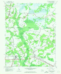
1942 · Whaleysville
USGS Topo · 1:24,000