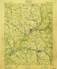
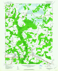
1942 Map of Pittsville
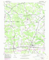
USGS Topo · Published 1983About this map
Pittsville and Parsonsburg serve as the primary anchors for this rural landscape on the Delmarva Peninsula during the early 1940s. The map illustrates a region defined by its complex drainage network and agricultural partitions, where man-made watercourses like Figgs Ditch, Hamlin Ditch, and Campbell Ditch underscore the long-standing effort to manage the wet lowlands. These ditches integrate with natural features such as Jack White Swamp and Hamlin Swamp, showing the historical adaptation of the land for productivity.
Find a feature on this map
31 named features on this map. Tap any name to fly to it.
Don’t see what you’re looking for? This feature index may not catch every label — zoom into the map to look around manually.
Map Details
Editions of this 1942 Pittsville Map
This is the sole edition of this map. No revisions or reprints were ever made.
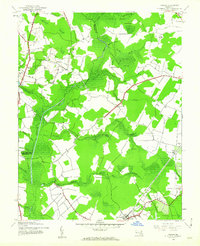
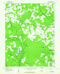
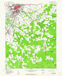
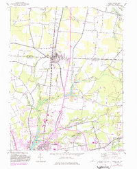
Other maps of this area

1901 · Salisbury
USGS Topo · 1:62,500

1902 · Pittsville
USGS Topo · 1:62,500
1915 · Seaford
USGS Topo · 1:62,500

1917 · Millsboro
USGS Topo · 1:62,500

1938 · Millsboro
USGS Topo · 1:62,500
1942 · Ninepin
USGS Topo · 1:24,000
1942 · Wango
USGS Topo · 1:24,000
1942 · Whaleysville
USGS Topo · 1:24,000
1942 · Salisbury
USGS Topo · 1:24,000
1942 · Delmar
USGS Topo · 1:24,000