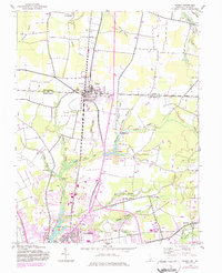
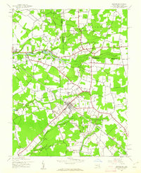
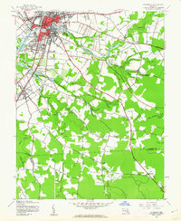
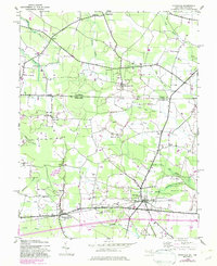
1942 Map of Delmar
USGS Topo · Published 1983About this map
Delmar straddles the border of Delaware and Maryland, serving as a critical junction point where the Conrail line bisects the town. This 1942 survey, updated with later revisions, shows the community’s development along State Line Road, separating Sussex County from Wicomico County. The landscape is defined by the headwaters of the Wicomico River, which flows south toward Salisbury.
Find a feature on this map
44 named features on this map. Tap any name to fly to it.
Don’t see what you’re looking for? This feature index may not catch every label — zoom into the map to look around manually.
Map Details
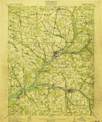
Editions of this 1942 Delmar Map
This is the sole edition of this map. No revisions or reprints were ever made.
Other maps of this area

1901 · Salisbury
USGS Topo · 1:62,500

1902 · Pittsville
USGS Topo · 1:62,500
1915 · Seaford
USGS Topo · 1:62,500

1917 · Millsboro
USGS Topo · 1:62,500

1938 · Millsboro
USGS Topo · 1:62,500
1942 · Eden
USGS Topo · 1:24,000
1942 · Wango
USGS Topo · 1:24,000
1942 · Hebron
USGS Topo · 1:24,000
1942 · Salisbury
USGS Topo · 1:24,000
1942 · Pittsville
USGS Topo · 1:24,000