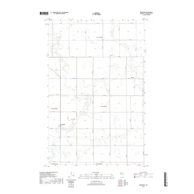
2019 Map of Wannaska
USGS Topo · Published 2019About this map
The S Fork Roseau River and Roseau River meander through the prairie landscape of Roseau County, defining the drainage patterns of this northern Minnesota region. The small community of Wannaska sits at a critical junction where county roads meet the winding river, serving as a focal point for the surrounding rural sections. Further east, the locality of Pencer occupies a similarly river-oriented position.
Find a feature on this map
30 named features on this map. Tap any name to fly to it.
Don’t see what you’re looking for? This feature index may not catch every label — zoom into the map to look around manually.
Map Details
Editions of this 2019 Wannaska Map
This is the sole edition of this map. No revisions or reprints were ever made.
Other maps of this area

1918 · Goos
USGS Topo · 1:62,500

1918 · Pencer
USGS Topo · 1:62,500

1918 · Roseau
USGS Topo · 1:62,500

1918 · Garland
USGS Topo · 1:62,500

1943 · Goos
USGS Topo · 1:62,500

1954 · Roseau
USGS Topo · 1:250,000

1957 · Roseau
USGS Topo · 1:250,000

1958 · Roseau
USGS Topo · 1:250,000

1966 · Malung
USGS Topo · 1:24,000
1966 · Roseau
USGS Topo · 1:24,000