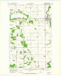
1966 Map of Roseau
USGS Topo · Published 1968About this map
Roseau serves as the focal point of this northern Minnesota survey, situated along the winding path of the Roseau River. The town layout in the mid-1960s shows a structured grid bisected by the Great Northern railroad line, with the Fairground positioned on the northern edge of the settlement. To the south and west, the landscape is defined by the townships of Jadis and Stafford, where a network of drainage infrastructure like County Ditch No 8 supports the agricultural utility of the plains.
Find a feature on this map
15 named features on this map. Tap any name to fly to it.
Don’t see what you’re looking for? This feature index may not catch every label — zoom into the map to look around manually.
Map Details
Editions of this 1966 Roseau Map
2 editions found
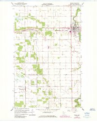
Other maps of this area

1918 · Goos
USGS Topo · 1:62,500

1918 · Pencer
USGS Topo · 1:62,500

1918 · Roseau
USGS Topo · 1:62,500

1918 · Garland
USGS Topo · 1:62,500

1943 · Goos
USGS Topo · 1:62,500

1954 · Roseau
USGS Topo · 1:250,000

1957 · Roseau
USGS Topo · 1:250,000

1958 · Roseau
USGS Topo · 1:250,000
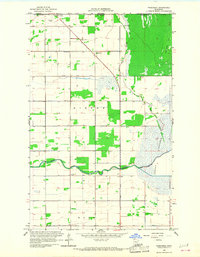
1966 · Pinecreek
USGS Topo · 1:24,000
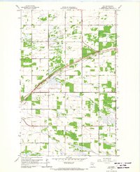
1966 · Fox
USGS Topo · 1:24,000