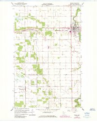
1966 Map of Roseau
USGS Topo · Published 1984About this map
Roseau serves as the focal point of this northern Minnesota landscape, situated along the banks of the Roseau River. The town's mid-century layout is clearly defined, with the Burlington Northern railroad corridor cutting through the western and northern sections, supporting the local economy alongside numerous Gravel Pits. To the south, the landscape transitions into the rural townships of Jadis and Stafford, where life centered around landmarks like Bethel Ch and the waters of the South Fork. Notable local institutions such as the Fish Hatchery and Hope Cem are meticulously documented, illustrating a community structured around its natural resources and systematic water management via the County Ditch No 8.
Find a feature on this map
15 named features on this map. Tap any name to fly to it.
Don’t see what you’re looking for? This feature index may not catch every label — zoom into the map to look around manually.
Map Details
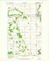
Editions of this 1966 Roseau Map
2 editions found
Other maps of this area

1918 · Goos
USGS Topo · 1:62,500

1918 · Pencer
USGS Topo · 1:62,500

1918 · Roseau
USGS Topo · 1:62,500

1918 · Garland
USGS Topo · 1:62,500

1943 · Goos
USGS Topo · 1:62,500

1954 · Roseau
USGS Topo · 1:250,000

1957 · Roseau
USGS Topo · 1:250,000

1958 · Roseau
USGS Topo · 1:250,000
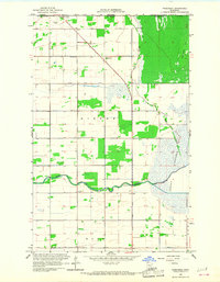
1966 · Pinecreek
USGS Topo · 1:24,000
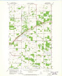
1966 · Fox
USGS Topo · 1:24,000