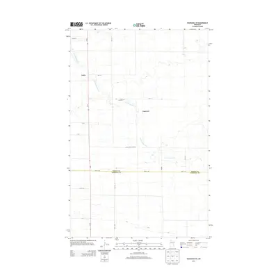
2013 Map of Wannaska SW
USGS Topo · Published 2013About this map
The S Fork Roseau River winds through the lowlands of northwestern Minnesota, defining the rural character of this borderland landscape. Near the riverside settlement of Torfin, the river’s path is supplemented by human engineering, most notably the straight-line drainage of Judicial Ditch Number 63. This 2013 survey illustrates the sparse, grid-based settlement pattern of the region, where family and community landmarks are anchored by quiet intersections like Casperson. Genealogists may find value in the location of the Golden Valley Cem, situated along the section lines north of the river. The map also delineates the jurisdictional boundary between Roseau Co and Marshall Co, following the path of 460th St NE as it cuts across the prairie landscape.
Find a feature on this map
18 named features on this map. Tap any name to fly to it.
Don’t see what you’re looking for? This feature index may not catch every label — zoom into the map to look around manually.
Map Details
Editions of this 2013 Wannaska SW Map
This is the sole edition of this map. No revisions or reprints were ever made.
Other maps of this area

1918 · Rollis
USGS Topo · 1:62,500

1918 · Pencer
USGS Topo · 1:62,500

1918 · Garland
USGS Topo · 1:62,500

1919 · Liner
USGS Topo · 1:62,500

1943 · Rollis
USGS Topo · 1:62,500

1954 · Roseau
USGS Topo · 1:250,000

1957 · Roseau
USGS Topo · 1:250,000

1958 · Roseau
USGS Topo · 1:250,000

1962 · Gatzke
USGS Topo · 1:24,000
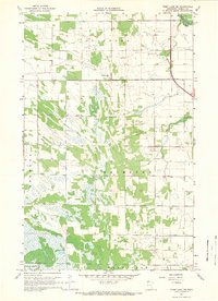
1967 · Thief Lake NE
USGS Topo · 1:24,000