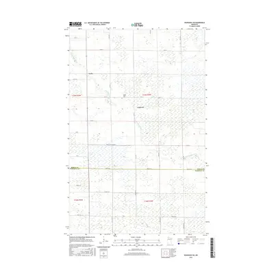
2016 Map of Wannaska SW
USGS Topo · Published 2016About this map
The S Fork Roseau River winds through this northwestern Minnesota landscape, defining a region characterized by extensive wetlands and a geometric grid of rural roads. The small settlements of Torfin and Casperson anchor the northern half of the map, connected by a network of thoroughfares including Co Rd 122 and Co Rd 18. This area reflects the late 20th-century drainage and land management patterns of the Red River Valley periphery, visible in the straight lines of Judicial Ditch Number 63. For genealogists, the Golden Valley Cem provides a specific point of interest near the township line. The boundary between Roseau and Marshall counties cuts across the southern section, where the terrain transitions into more uniform agricultural or conservation parcels accessed via Co Hwy 134 and Co Hwy 48.
Find a feature on this map
24 named features on this map. Tap any name to fly to it.
Don’t see what you’re looking for? This feature index may not catch every label — zoom into the map to look around manually.
Map Details
Editions of this 2016 Wannaska SW Map
This is the sole edition of this map. No revisions or reprints were ever made.
Other maps of this area

1918 · Rollis
USGS Topo · 1:62,500

1918 · Pencer
USGS Topo · 1:62,500

1918 · Garland
USGS Topo · 1:62,500

1919 · Liner
USGS Topo · 1:62,500

1943 · Rollis
USGS Topo · 1:62,500

1954 · Roseau
USGS Topo · 1:250,000

1957 · Roseau
USGS Topo · 1:250,000

1958 · Roseau
USGS Topo · 1:250,000

1962 · Gatzke
USGS Topo · 1:24,000
1967 · Thief Lake NE
USGS Topo · 1:24,000