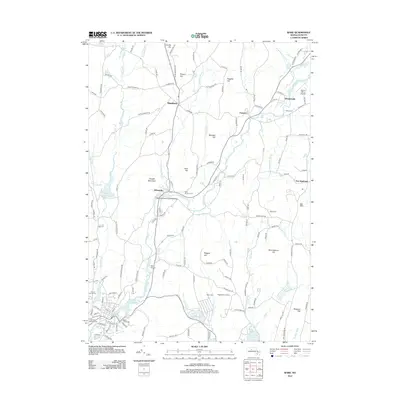
2012 Map of Ware
USGS Topo · Published 2012About this map
The Ware River valley serves as the central corridor for this central Massachusetts landscape, connecting the industrial and residential hamlets of Wheelwright, Furnace, and Gilbertville. This period of the early 21st century shows a region defined by its historic village centers and agricultural highlands, such as Ragged Hill Orchard and the peaks of Dougal Mountain and Whortleberry Hill. The map meticulously records numerous local landmarks essential for genealogical research, including Mount Carmel Cem and Saint Aloysius Cem.
Find a feature on this map
143 named features on this map. Tap any name to fly to it.
Don’t see what you’re looking for? This feature index may not catch every label — zoom into the map to look around manually.
Map Details
Editions of this 2012 Ware Map
This is the sole edition of this map. No revisions or reprints were ever made.
Other maps of this area

1887 · Brookfield
USGS Topo · 1:62,500

1887 · Palmer
USGS Topo · 1:62,500

1887 · Belchertown
USGS Topo · 1:62,500

1887 · Barre
USGS Topo · 1:62,500

1889 · Palmer
USGS Topo · 1:62,500

1889 · Barre
USGS Topo · 1:62,500

1890 · Belchertown
USGS Topo · 1:62,500

1890 · Brookfield
USGS Topo · 1:62,500

1893 · Palmer
USGS Topo · 1:62,500

1893 · Belchertown
USGS Topo · 1:62,500