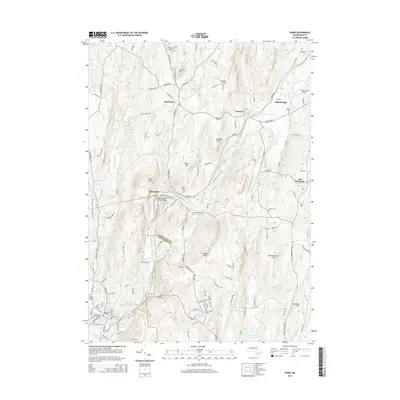
2015 Map of Ware
USGS Topo · Published 2015About this map
The Ware River carves a central path through this section of Massachusetts, defining a corridor of industry and settlement that includes Gilbertville, Wheelwright, and the historic site of Furnace. This waterpower-driven development is punctuated by the Ware-Hardwick Covered Bridge, a notable landmark spanning the river between the townships. The terrain is marked by numerous drumlins and summits such as Dougal Mtn and Ragged Hill, which overlook a landscape dotted with local cemeteries including Saint Aloysius Cem and Taylor Cem. The map illustrates the transition from the dense street grids of Ware in the southwest to the more open, upland spaces of New Braintree and Hardwick. Aviation history is also present here, with both Ware Airport and the Tanner-Hiller Airport situated among the hills.
Find a feature on this map
131 named features on this map. Tap any name to fly to it.
Don’t see what you’re looking for? This feature index may not catch every label — zoom into the map to look around manually.
Map Details
Editions of this 2015 Ware Map
This is the sole edition of this map. No revisions or reprints were ever made.
Other maps of this area

1887 · Brookfield
USGS Topo · 1:62,500

1887 · Palmer
USGS Topo · 1:62,500

1887 · Belchertown
USGS Topo · 1:62,500

1887 · Barre
USGS Topo · 1:62,500

1889 · Palmer
USGS Topo · 1:62,500

1889 · Barre
USGS Topo · 1:62,500

1890 · Belchertown
USGS Topo · 1:62,500

1890 · Brookfield
USGS Topo · 1:62,500

1893 · Palmer
USGS Topo · 1:62,500

1893 · Belchertown
USGS Topo · 1:62,500