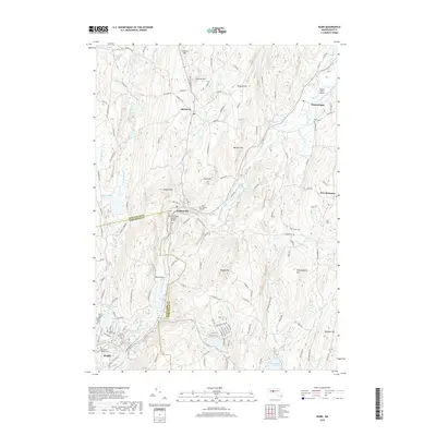
2018 Map of Ware
USGS Topo · Published 2018About this map
Ware and its surrounding hill country are defined by the winding course of the Ware River, which flows through the industrial and agricultural heart of Hampshire and Worcester Counties. The landscape is dotted with small settlements like Gilbertville, Wheelwright, and Hardwick, each connected by a network of rural routes such as Greenwich Rd and New Braintree Rd. One of the most distinctive landmarks is the Ware-Hardwick Covered Bridge, which spans the river at the county line, preserving a traditional piece of New England transportation history.
Find a feature on this map
129 named features on this map. Tap any name to fly to it.
Don’t see what you’re looking for? This feature index may not catch every label — zoom into the map to look around manually.
Map Details
Editions of this 2018 Ware Map
This is the sole edition of this map. No revisions or reprints were ever made.
Other maps of this area

1887 · Brookfield
USGS Topo · 1:62,500

1887 · Palmer
USGS Topo · 1:62,500

1887 · Belchertown
USGS Topo · 1:62,500

1887 · Barre
USGS Topo · 1:62,500

1889 · Palmer
USGS Topo · 1:62,500

1889 · Barre
USGS Topo · 1:62,500

1890 · Belchertown
USGS Topo · 1:62,500

1890 · Brookfield
USGS Topo · 1:62,500

1893 · Palmer
USGS Topo · 1:62,500

1893 · Belchertown
USGS Topo · 1:62,500