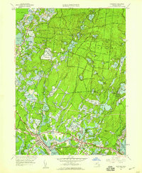
1957 Map of Wareham
USGS Topo · Published 1959About this map
The vast glacial landscape of the Myles Standish State Forest dominates this interior portion of Plymouth County, characterized by a dense network of kettle ponds and sandy ridges. The agricultural economy of the era is clearly visible through the extensive Wankinco Cranberry Bog and several others scattered near Tihonet. Further south, the settlement of Wareham serves as a hub for the New York New Haven and Hartford railroad, which skirts the Agawam River and Broad Marsh River. This survey captures the mid-century development of seasonal and scout camps such as Camp Rockne, Camp Squanto, and Camp Chadalot, reflecting the region's transition into a destination for summer recreation. Notable local landmarks like Brandy Hill and the Air Strip near South Wareham provide specific points of reference for local historians.
Find a feature on this map
88 named features on this map. Tap any name to fly to it.
Don’t see what you’re looking for? This feature index may not catch every label — zoom into the map to look around manually.
Map Details
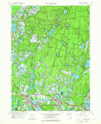
Editions of this 1957 Wareham Map
2 editions found
Other maps of this area

1885 · New Bedford
USGS Topo · 1:62,500

1885 · Middleboro
USGS Topo · 1:62,500

1886 · Falmouth
USGS Topo · 1:62,500

1886 · Plymouth
USGS Topo · 1:62,500

1888 · New Bedford
USGS Topo · 1:62,500

1888 · Falmouth
USGS Topo · 1:62,500

1888 · Middleboro
USGS Topo · 1:62,500

1889 · Plymouth
USGS Topo · 1:62,500

1893 · Middleboro
USGS Topo · 1:62,500

1893 · Falmouth
USGS Topo · 1:62,500