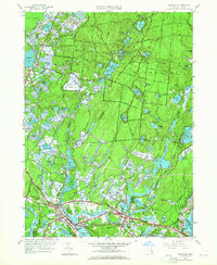
1957 Map of Wareham
USGS Topo · Published 1965About this map
Myles Standish State Forest dominates the northern landscape of this mid-century survey, characterized by a dense network of ponds and specialized agricultural tracts. Numerous Cranberry Bogs are meticulously plotted across the terrain, illustrating the region's historical reliance on peat-land cultivation near South Carver and Tihonet. Along the coast and rivers, the New York New Haven and Hartford railroad cuts through Wareham, serving industrial and transit needs near the Agawam River.
Find a feature on this map
88 named features on this map. Tap any name to fly to it.
Don’t see what you’re looking for? This feature index may not catch every label — zoom into the map to look around manually.
Map Details
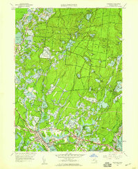
Editions of this 1957 Wareham Map
2 editions found
Other maps of this area

1885 · New Bedford
USGS Topo · 1:62,500

1885 · Middleboro
USGS Topo · 1:62,500

1886 · Falmouth
USGS Topo · 1:62,500

1886 · Plymouth
USGS Topo · 1:62,500

1888 · New Bedford
USGS Topo · 1:62,500

1888 · Falmouth
USGS Topo · 1:62,500

1888 · Middleboro
USGS Topo · 1:62,500

1889 · Plymouth
USGS Topo · 1:62,500

1893 · Middleboro
USGS Topo · 1:62,500

1893 · Falmouth
USGS Topo · 1:62,500