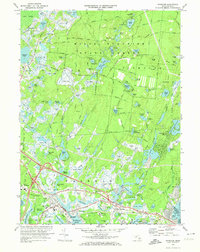
1972 Map of Wareham
USGS Topo · Published 1974About this map
Myles Standish State Forest dominates the upper reaches of this landscape, its interior crisscrossed by firebreaks and roads like Three Cornered Pond Road and Upper College Pond Road that connect numerous glacial kettles, including Fearing Pond and Charge Pond. The 1972 topography reveals a regional economy deeply tied to water management, visible in the extensive Cranberry Bogs that follow the Wankinco River and Frogfoot Brook. In the more developed southern portion, the Penn Central rail line services settlements like Wareham and South Wareham. Local institutions such as the Decas Sch and the State Correctional Institution Forestry Camp are clearly marked, while family history can be traced through sites like Centre Cem and St Patricks Cem near the town center.
Find a feature on this map
102 named features on this map. Tap any name to fly to it.
Don’t see what you’re looking for? This feature index may not catch every label — zoom into the map to look around manually.
Map Details
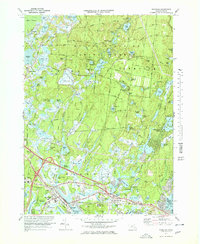
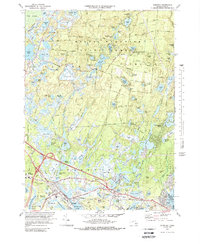
Editions of this 1972 Wareham Map
3 editions found
Other maps of this area

1885 · New Bedford
USGS Topo · 1:62,500

1885 · Middleboro
USGS Topo · 1:62,500

1886 · Falmouth
USGS Topo · 1:62,500

1886 · Plymouth
USGS Topo · 1:62,500

1888 · New Bedford
USGS Topo · 1:62,500

1888 · Falmouth
USGS Topo · 1:62,500

1888 · Middleboro
USGS Topo · 1:62,500

1889 · Plymouth
USGS Topo · 1:62,500

1893 · Middleboro
USGS Topo · 1:62,500

1893 · Falmouth
USGS Topo · 1:62,500