
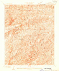
1931 Map of Warm Spring
USGS Topo · Published 1931About this map
Angeles National Forest dominates this 1931 survey, characterized by the sharp topographic relief of the Sierra Pelona Mountains before major modern development. The map, produced under County Surveyor J. E. Rockhold and Chairman Henry W. Wright, captures the intricate drainage patterns of the region, where Elizabeth Lake Canyon and Sawmill Canyon carve through the high-elevation terrain. This advance sheet serves as a primary record of the watershed and mountain peaks such as Burnt Peak and Lookout Mountain during the early decades of the forest's management.
Find a feature on this map
10 named features on this map. Tap any name to fly to it.
Don’t see what you’re looking for? This feature index may not catch every label — zoom into the map to look around manually.
Map Details
Editions of this 1931 Warm Spring Map
This is the sole edition of this map. No revisions or reprints were ever made.
Other maps of this area

1903 · Tejon
USGS Topo · 1:125,000

1915 · Elizabeth Lake
USGS Topo · 1:125,000

1917 · Elizabeth Lake
USGS Topo · 1:125,000

1931 · Red Mountain
USGS Topo · 1:24,000

1931 · Redrock Mtn
USGS Topo · 1:24,000
1932 · La Brun
USGS Topo · 1:24,000

1932 · Hughes Lake
USGS Topo · 1:24,000

1932 · Fairmont
USGS Topo · 1:24,000

1932 · Neenach
USGS Topo · 1:24,000

1933 · Manzana
USGS Topo · 1:24,000