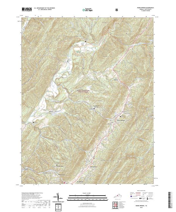
2022 Map of Warm Springs
USGS Topo · Published 2022About this map
Warm Springs and the surrounding Warm Springs Valley are defined by a complex network of thermal springs and steep Appalachian ridges. The area serves as a focal point for historic recreation and local governance, anchored by the Warm Springs Baths and the Bath County Courthouse. Settlement patterns follow the valley floors and gaps, with established communities like Bacova, Hot Springs, and Mitchelltown connected by a web of mountain roads and forest trails.
Find a feature on this map
99 named features on this map. Tap any name to fly to it.
Don’t see what you’re looking for? This feature index may not catch every label — zoom into the map to look around manually.
Map Details
Editions of this 2022 Warm Springs Map
This is the sole edition of this map. No revisions or reprints were ever made.
Other maps of this area

1894 · Natural Bridge
USGS Topo · 1:125,000

1901 · Monterey
USGS Topo · 1:125,000

1923 · Warm Springs
USGS Topo · 1:48,000

1926 · Warm Springs
USGS Topo · 1:62,500

1929 · Falling Spring
USGS Topo · 1:24,000

1930 · Warm Springs Run
USGS Topo · 1:24,000

1930 · Mountain Grove
USGS Topo · 1:24,000

1931 · Healing Springs
USGS Topo · 1:24,000

1932 · Falling Spring
USGS Topo · 1:31,680

1933 · Mountain Grove
USGS Topo · 1:31,680